Landslides
Seacliff Subdivision – Point Richmond, CA
Detailed Geotechnical Engineering Analysis
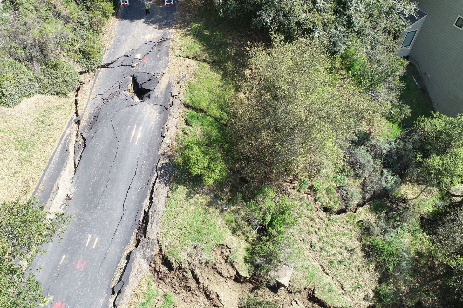
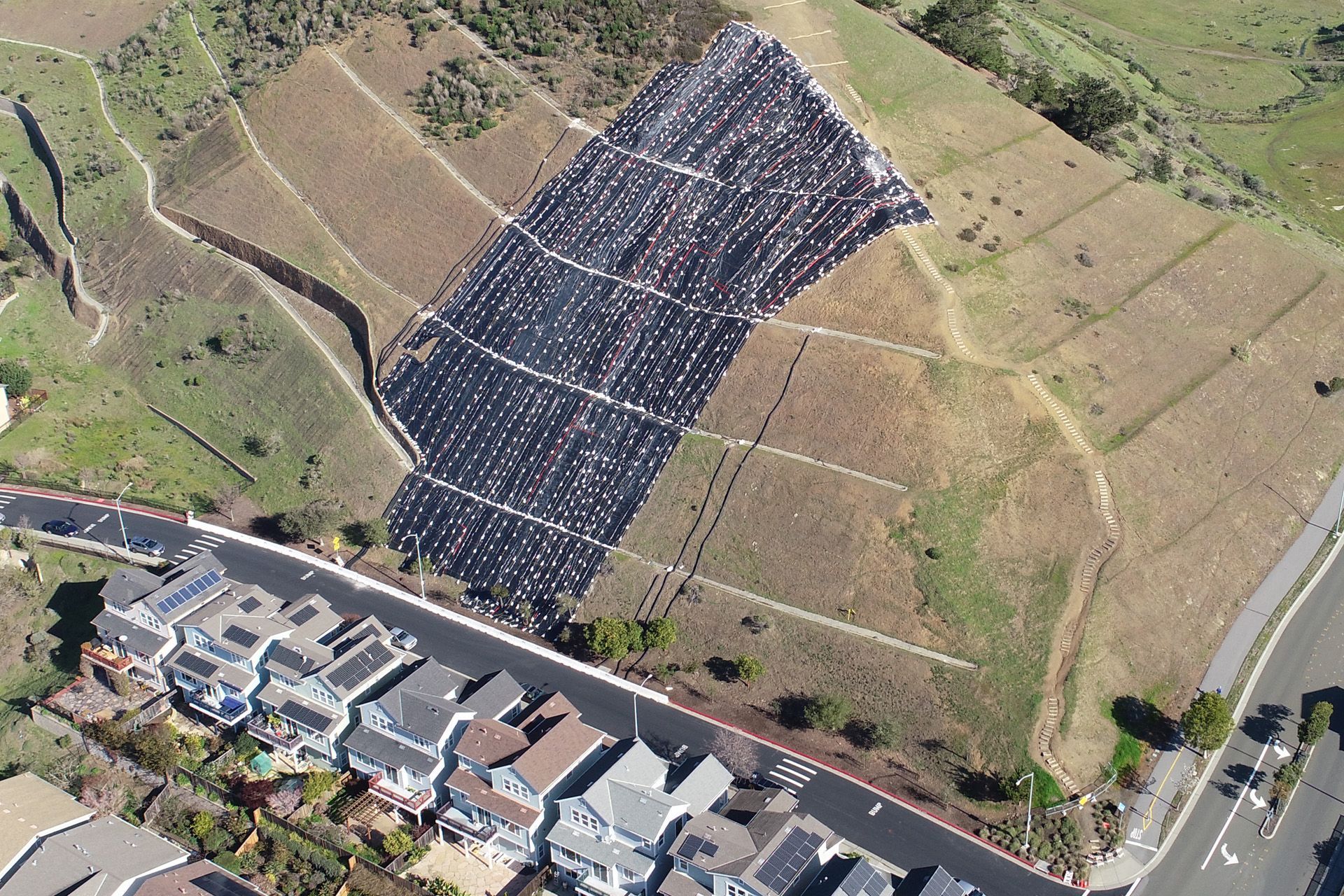
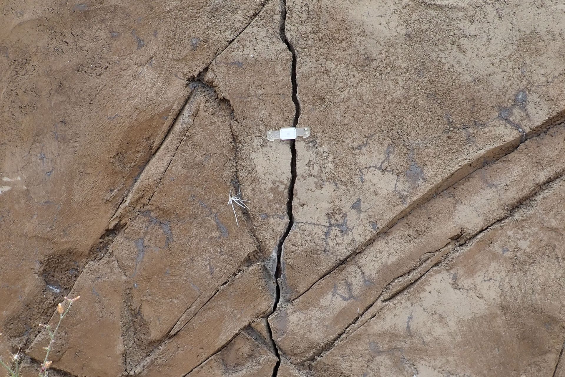
Large, new ground cracks developed at the top of a cut slope over 100 feet high in the Seacliff Subdivision in January 2023. A consultant advised the City of Richmond that a big, deep landslide could be occurring, and the City ordered the evacuation of 15 homes at the base of the hillside. AKA was engaged by the Homeowner’s Association to assess the hillside and comment on the emergency work being performed. AKA initiated survey monitoring of the slope and a large crack in a retaining wall, performed a LiDAR survey, and conducted drone flights. In addition, AKA reviewed historic information regarding the slope on aerial photographs and past consultant reports. As the data was provided to the City, the evacuation order was lifted. Detailed studies performed the following summer and fall included subsurface exploration in the areas of ground crack, video surveys of buried storm drain pipes on the slope, additional drone flights, and stability analyses. This work will guide remedial work on the slope in the future.
Tappan Terrace – Orinda, CA
Geotechnical Consultations
Subsurface Investigation
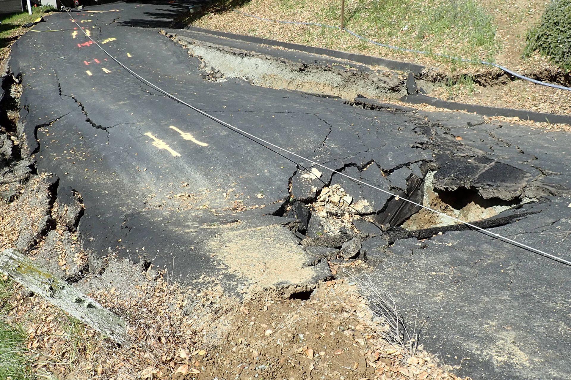
In the Spring of 2020, a landslide occurred which severed Tappan Terrace in Orinda and a large amount of ground moved down a ravine. Access to two homes was lost, a third home was threatened, a driveway was blocked, and mud covered another public roadway. Detailed studies of the failure by AKA identified a leaking water main as the key slide trigger and developed detailed geotechnical repair plans. These plans included tied-back walls and remedial grading to restore Tappan Terrace as well as major hillside stabilization grading.
Zaytuna College - Berkeley, CA
Geotechnical Consultations
Geotechnical Engineering Investigation
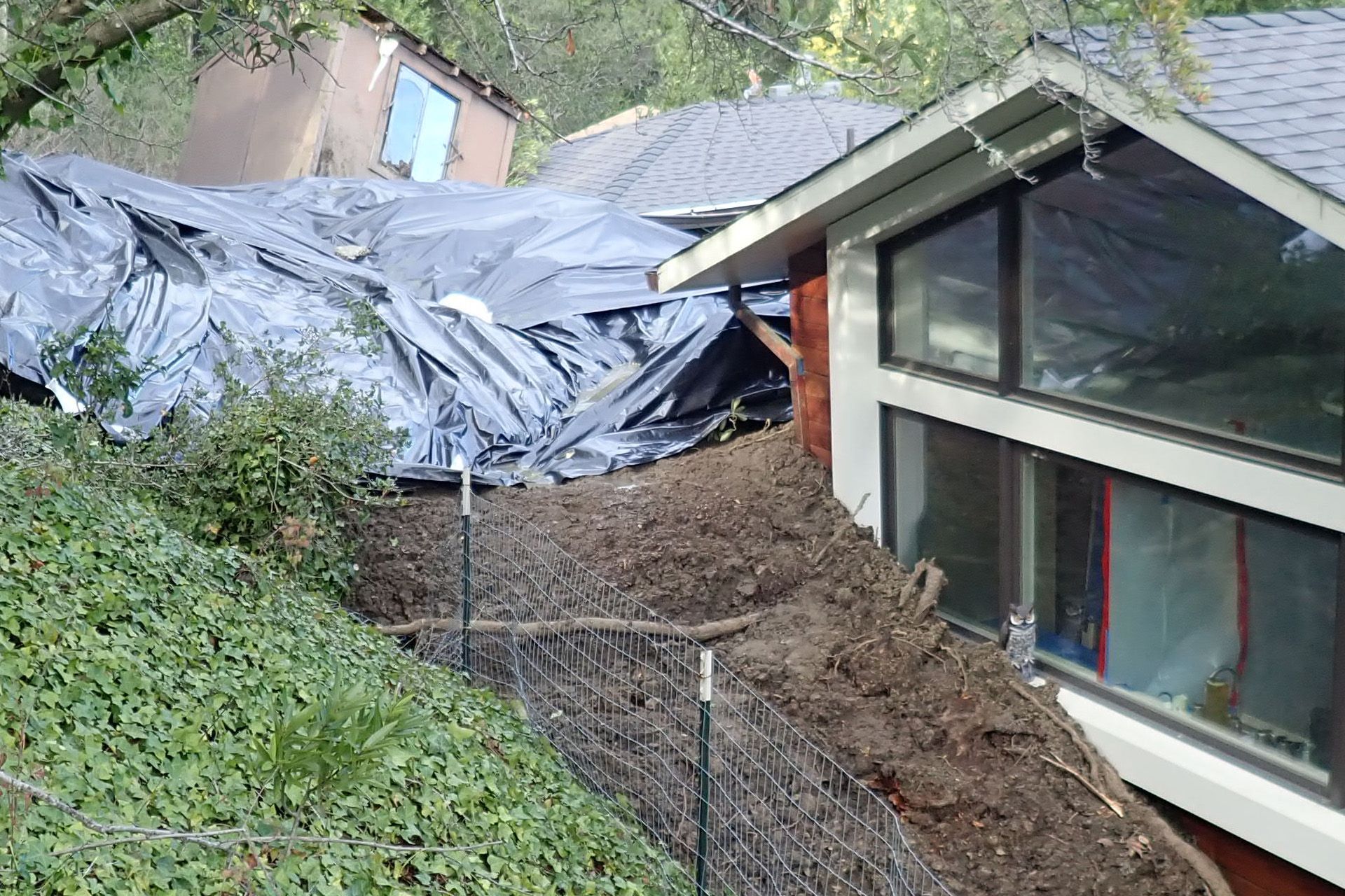
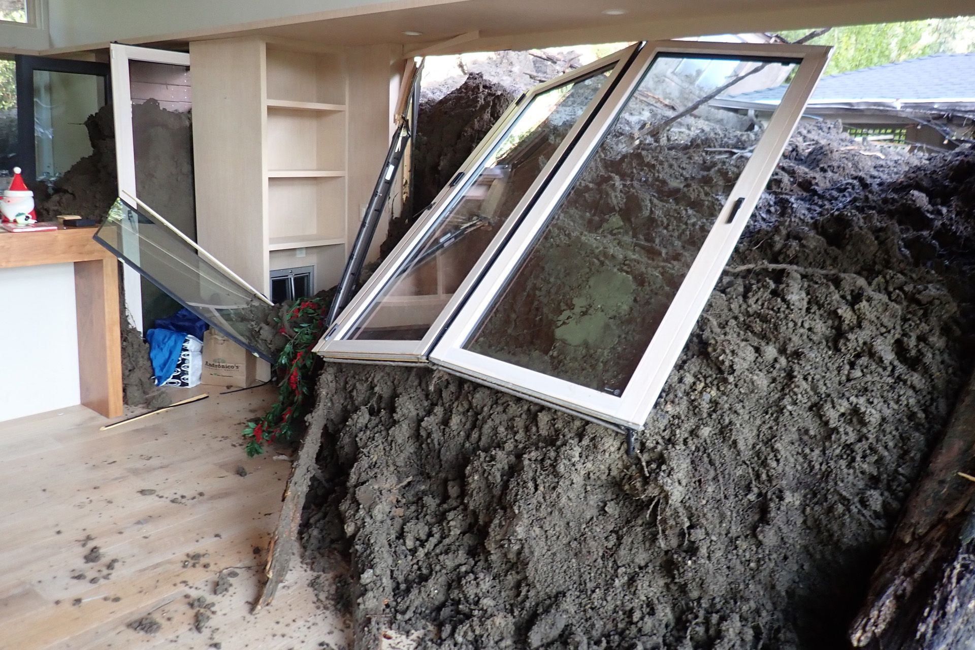
The City of Berkeley contacted AKA in January 2023 when a slope failure occurred that resulted in mud flow into a house at the base of the hill. AKA worked with the City to provide emergency advice regarding house evacuations and immediate measures to improve hillside stability. Since the landslide initiated on property owned by Zaytuna College, AKA was engaged by the College to develop winterization measures in the landslide area. AKA also is working with Zaytuna College to develop long-term remedial measures in the landslide area, and making the work compatible with the development plans of a large hillside area.
La Conchita Slope Stabilization – Ventura, CA
Geotechnical Engineering Assessment
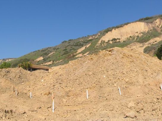
AKA conducted a geotechnical engineering assessment for the State of California Governor’s Office of Emergency Services (OES) relating to slope instability at the town of La Conchita. AKA lead a multi-disciplinary project team that included specialists in geotechnical engineering, engineering geology, seismology, risk assessment, and cost estimating. The scope of our initial assessments included compiling and reviewing available subsurface information from previous test borings, monitoring wells, and other geotechnical data sources as well as historic aerial photography and new topographic data obtained using aerial laser scanning methods. Based on these data sets, preliminary conceptual designs were developed and analyzed to evaluate feasibility, risks, and costs. The results of our initial study included a suite of conceptual risk management options and geotechnical mitigation approaches that were submitted to the Governor for action.
Blakemont Landslide – El Cerrito, CA
Preliminary Geologic and Geotechnical Study
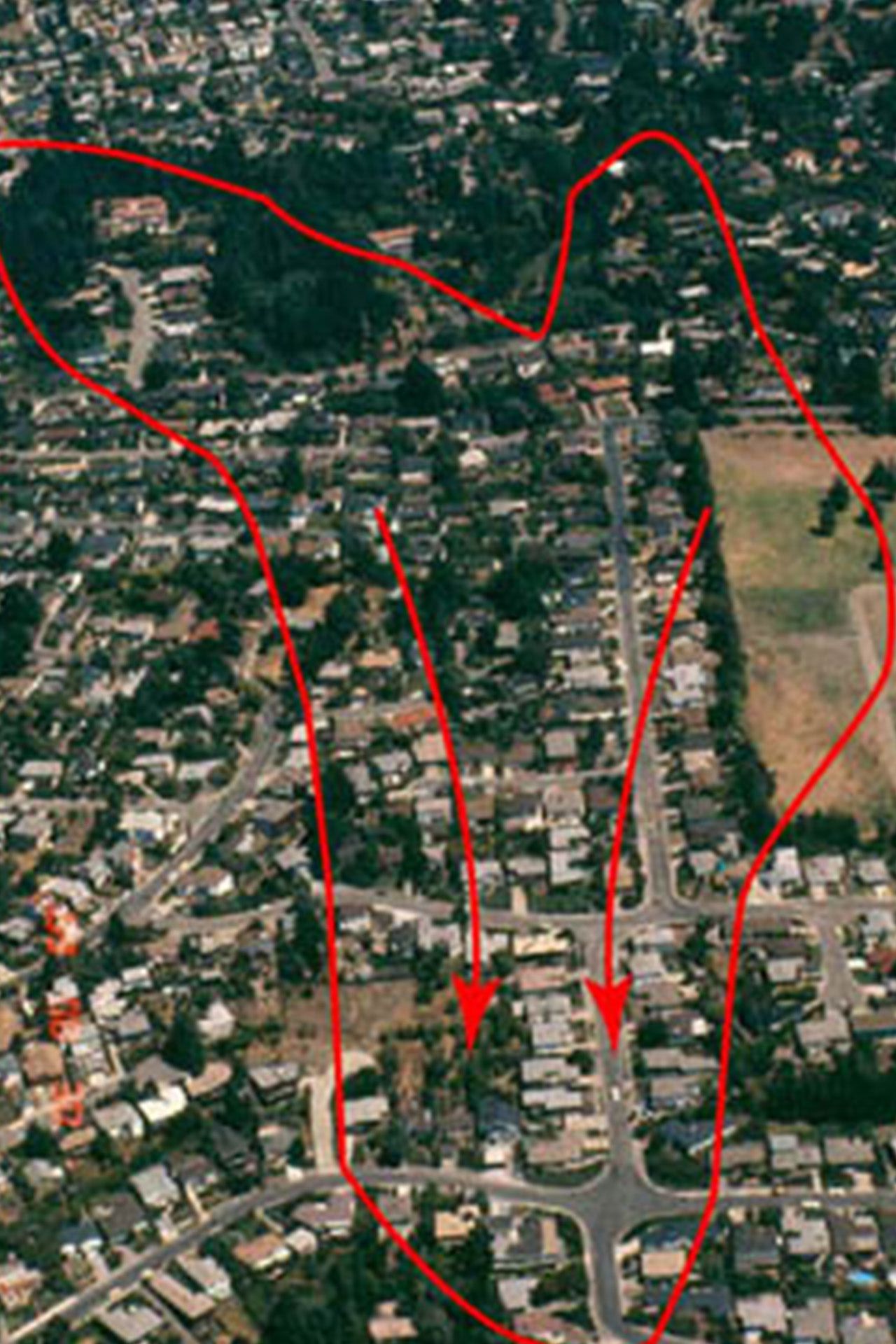
AKA has extensive data and specialized expertise pertaining to urban landslides, particularly the series of large active and potentially active landslides that exist on the western flank of the Berkeley Hills. The active Blakemont landslide straddles the border between El Cerrito and Kensington and is about 3,000 feet long and 700 feet wide. Most residences located over the landslide have experienced damage due to landslide movements. AKA conducted a preliminary study for the Blakemont Property Owners Association to delineate a proposed boundary for a planned Geologic Hazard Abatement District (GHAD) and develop conceptual approaches and cost estimates for landslide mitigation. The scope of our study entailed reviewing historic aerial photography and existing geologic/geotechnical reports, mapping surface conditions, and investigating subsurface conditions with deep borings, exploratory trenches, and inclinometers. The results of our preliminary study indicate that the active portion of the landslide is relatively shallow, averaging less than about 25 feet thick, and that lowering groundwater levels could stop or significantly reduce future landslide movement under static (non-earthquake) conditions. Based on this finding, AKA developed a detailed and constructible conceptual mitigation design utilizing deep subdrains coupled with surface drainage improvements to permanently lower groundwater to a level that would result in acceptable stability.
Portola Middle School – El Cerrito, CA
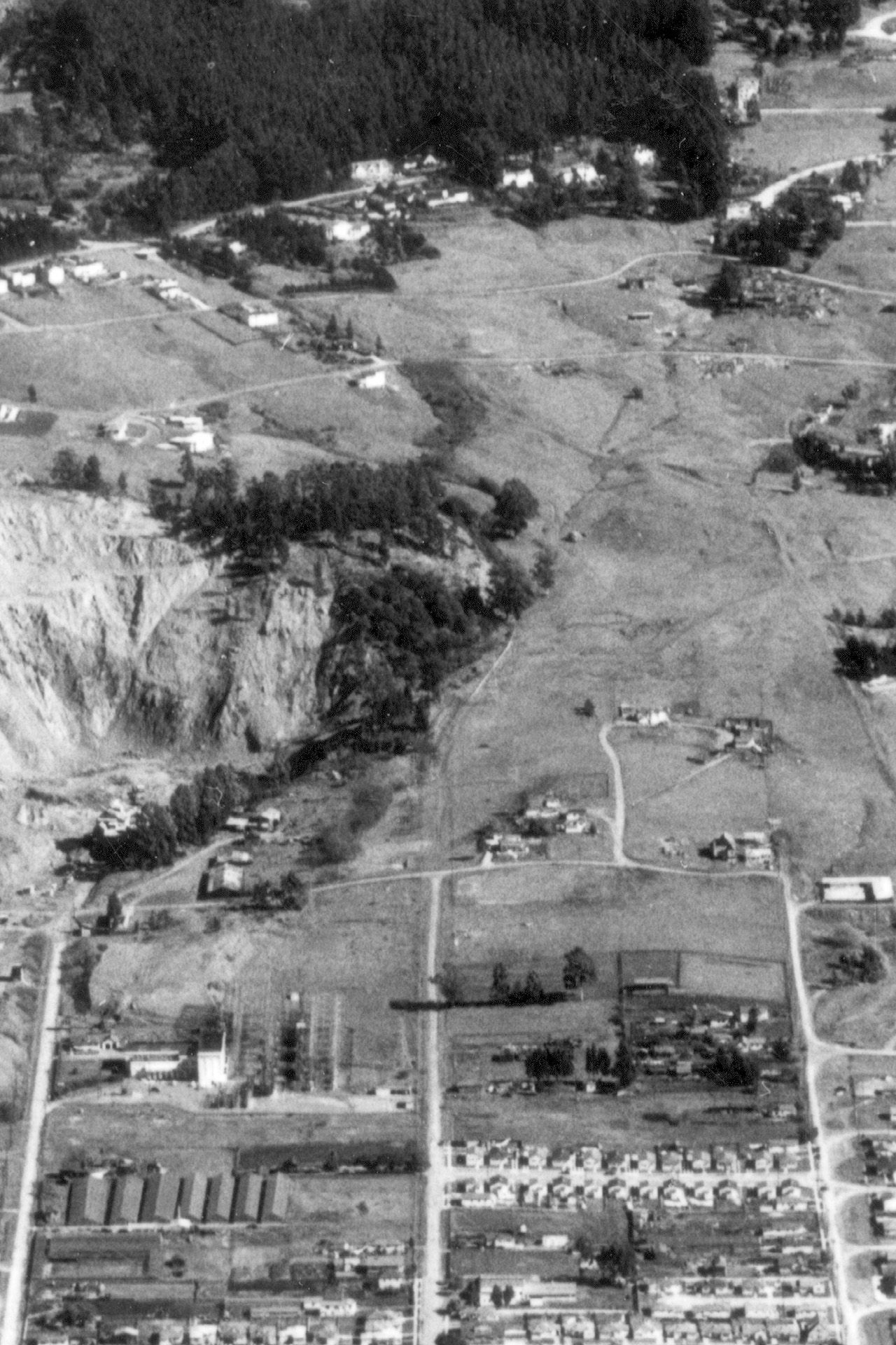
Landslide Hazard Assessment
AKA has been providing ongoing geotechnical engineering services to the West Contra Costa County Unified School District. The modernization of Portola Middle School would have involved several new school buildings as well as major structural upgrades to the existing school buildings. In an initial geologic hazard screening study, AKA found that the existing school buildings were located on the toe of a large urban landslide. Subsequent detailed investigations and analysis by AKA confirmed that the school is underlain by the landslide, which is seismically unstable. After achieving concurrence from the California Geological Survey that a seismically-induced landslide hazard exists for the school, we worked closely with the District to develop conceptual mitigation options, evaluate mitigation feasibility from technical, economic, legal and public relations perspectives, explore alternative school development and funding options, and probabilistically evaluate landslide-related risks. Through these analyses it was determined that safety concerns associated with the landslide could not be readily mitigated and that future school development would need to occur at an alternate nearby site. In 2013, we provided construction observation and testing services during the demolition of the existing school buildings and associated site improvements and the subsequent regrading of the site and its conversion to open space.

© 2023 Alan Kropp & Associates, Inc. | Privacy Policy

